Why Choose Our Satellite Imaging Services
Combining advanced technology with expert analysis to protect and manage natural resources.
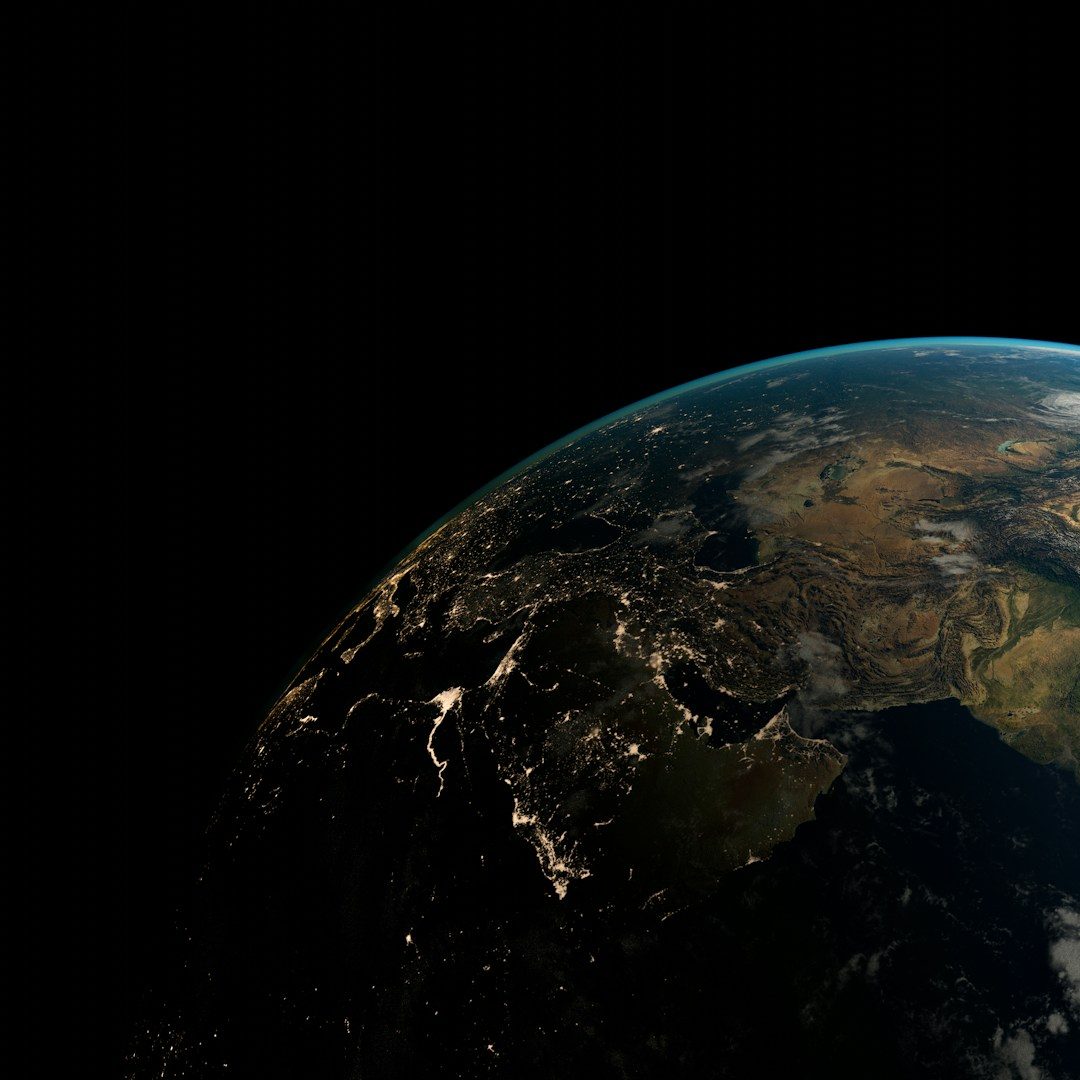
High-Resolution Data
Detailed satellite imagery providing precise environmental information for critical monitoring tasks.
Real-Time Fire Detection
Rapid identification of forest fires to support timely response and mitigation efforts.
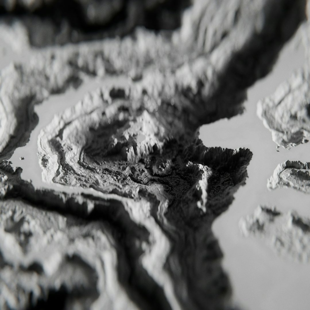
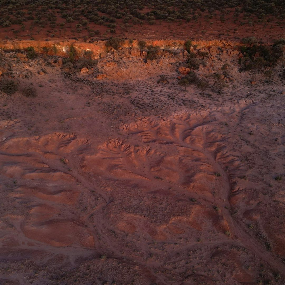
Comprehensive Drought Analysis
In-depth assessment of drought severity using multi-source satellite metrics for effective water resource management.
Sustainable Forestry Support
Tools and insights aimed at promoting sustainable forest management and conservation practices.
Tagline
Innovative Satellite Imaging for Environmental Insight
Eye Image Incorporation uses cutting-edge satellite imagery and analysis techniques to deliver actionable insights. Our services enable governments, researchers, and organizations to monitor forests, detect wildfires early, and assess droughts effectively.